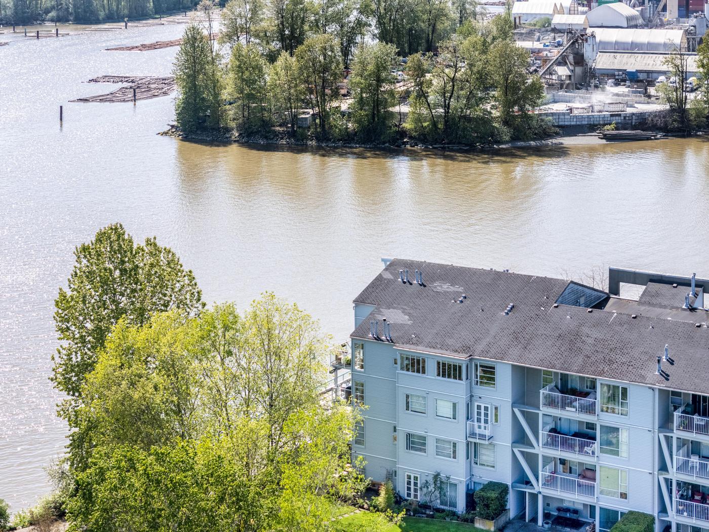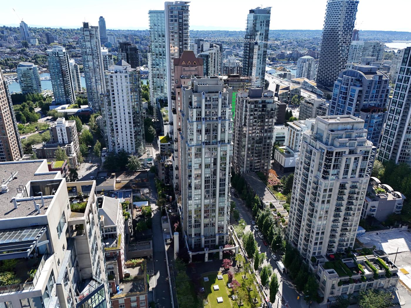
Drone photos for a BC listing are legal when the pilot holds the right Transport Canada certificate for where the home sits. Away from airports, a basic certificate usually covers it. Near YVR and other controlled airspace, the pilot needs an advanced certificate and permission from air traffic control, which can take up to two weeks.
That last point is the one that catches realtors out. An aerial shot gets promised in the listing presentation, the launch date is set, and only then does someone check the address against the airspace map. This guide covers what the rules say, which parts of the region need extra steps, and what to ask before you book.
The three questions that decide whether a drone can fly
Every aerial shoot in Canada comes down to three things:
- How heavy is the drone? Weight sets which rules apply at all.
- What certificate does the pilot hold? Basic and advanced certificates allow different kinds of flight.
- Where is the property? Controlled airspace, distance from airports and heliports, and temporary restrictions all depend on the address.
Get those three answers and you know whether the shot is a same-week booking, a two-week wait, or not possible.
Drone weight and pilot certificates
Transport Canada's operation categories page sorts drones by weight:
- Microdrones weigh under 250 g. They have their own rules and no pilot certificate.
- Small drones weigh from 250 g up to 25 kg. They need at least a basic certificate.
- Medium drones weigh over 25 kg and up to 150 kg. They need at least an advanced certificate.
Most real estate work uses small drones. For those, the certificate decides what the pilot can do:
- Basic operations (minimum age 14, online exam). No flying in controlled airspace, and no flying close to or over people.
- Advanced operations (minimum age 16, a harder online exam plus an in-person flight review). Flying in controlled airspace is allowed with permission from air traffic control. Flying closer to or over people is allowed when the drone meets the safety requirements for that kind of operation.
A microdrone is not a loophole. Transport Canada's rules on restricted zones apply to drones under 250 g too, and a microdrone still can't be flown carelessly over a busy street. For paid listing work, it's reasonable to expect the pilot to hold a certificate either way.
What changed in 2025
Amendments to the drone regulations came into force on November 4, 2025, as CREA noted in a CREA Cafe article for REALTORS. The changes most relevant to listing work are new and updated Transport Canada fees, including for exams, and a new Level 1 Complex certificate for lower-risk flights beyond visual line of sight. Pilots flying a microdrone at an advertised outdoor event now need a Special Flight Operations Certificate. For a typical listing shoot, the basic and advanced rules above are still the ones that matter.
Where you can and can't fly in Metro Vancouver
Transport Canada's page on where you can fly sets the distances pilots must keep unless they follow an established procedure or have permission:
- 5.6 km from airports listed as certified
- 1.9 km from heliports listed as certified
- 5.6 km from Department of National Defence aerodromes, which need authorization from the Minister of National Defence
- 9.3 km from a wildfire
- Away from emergency sites, restricted airspace and areas closed by a NOTAM
National parks are a separate case: pilots can't take off or land inside one without the superintendent's permission.
The YVR factor
Vancouver International Airport sits in Richmond, and the controlled airspace around it reaches well beyond the airport fence. Much of Richmond and nearby parts of Vancouver and Delta fall inside it. Downtown and the harbour add heliports and a water aerodrome to the picture.
Other airports in the region have their own airspace and distance rules, including Boundary Bay in Delta, Pitt Meadows, Langley and Abbotsford. Abbotsford International Airport's own drone guidance tells pilots to get RPAS authorization from NAV CANADA before flying in that airspace. In the Fraser Valley and Sea-to-Sky, many rural properties sit in uncontrolled airspace, but not all of them; small airports, heliports and seasonal wildfire restrictions still apply.
The practical result: a detached home in a Langley subdivision may be a routine flight, while a townhouse in central Richmond needs an advanced pilot and an approved request before anything leaves the ground.
How to check an address
Pilots use NAV CANADA's NAV Drone app or web map to see whether a location is in controlled airspace. The National Research Council's Drone Site Selection Tool is another map that shows airspace classes and nearby aerodromes, though Transport Canada describes it as a convenience tool, not an official source. Either is a good first look for a realtor, but the pilot makes the final call.
Getting permission in controlled airspace
When the address is in airspace NAV CANADA controls, the pilot submits a request through NAV Drone. According to the NAV Drone FAQ, the pilot needs:
- A NAV Drone profile with a Pilot Certificate for Advanced Operations
- A verified mobile phone number
- The drone's Transport Canada registration number on file
Requests at or below the lowest altitude shown for that part of the map can be approved automatically. Anything higher goes to manual review, and NAV CANADA says requests can take up to two weeks, though most are processed in about a week. Operations can be planned up to 60 days ahead.
Some control zones aren't run by NAV CANADA. For those, the pilot has to get permission directly from the agency that controls them, which can take longer.
Planning a listing launch around the drone
Build the airspace check into your listing timeline instead of treating aerials as a last-minute add-on.
Two weeks or more before launch:
- Send the full address to your photographer and ask whether it needs a NAV CANADA request.
- If it does, confirm the pilot holds an advanced certificate and book the drone date early.
- Decide what the aerial needs to show: the lot, the view, the distance to the beach or SkyTrain.
The week of the shoot:
- Have a backup date. Rain and strong wind ground drones, and Vancouver's wet season makes this common.
- If the home is in a strata, get written permission before anyone takes off from common property or a rooftop.
- Tell neighbours if the drone will be visible over shared fences or yards. A legal flight still draws complaints.
On the day:
- Keep people and vehicles clear of the take-off area.
- Don't promise a specific angle until the pilot has checked conditions on site.
When to skip the drone
Sometimes the honest answer is that the aerial isn't worth the wait. If the property is a mid-floor condo deep in controlled airspace and the launch can't move, put the budget into HDR photography of the view and a floor plan instead. Our guide on when drone photography is worth it walks through which listings benefit most.
Questions to ask your drone photographer
- Which pilot certificate do you hold: basic or advanced?
- Is this address in controlled airspace, and have you checked it on NAV Drone?
- If a request is needed, when will you submit it and what's the backup plan if it's slow?
- Is the drone registered with Transport Canada?
- What happens to the drone shot if the weather is bad on the day?
Clear answers to these tell you more about a drone provider than a demo reel.
What drone photography costs with YVR Listing
As of November 2026, Drone Photography is a flat-rate add-on from $200, booked together with photography or a package. Airspace and weather can affect timing, and feasibility for the address is confirmed when you book. HDR photography starts from $185 for an 800 sq ft home. The pricing page shows live prices for the exact property size and which packages include aerials.
Quick checklist
- Address checked for controlled airspace before the launch date is set
- Advanced certificate confirmed if the property is near YVR or another controlled airport
- NAV CANADA request submitted at least two weeks ahead where needed
- Distance from certified airports (5.6 km) and heliports (1.9 km) checked
- Strata permission in writing for any take-off from common property
- Backup weather date agreed
- Aerial shots chosen to show what buyers can't see from the street
For listings in Richmond, where much of the city sits under YVR's airspace, and in Delta, near Boundary Bay, the airspace check is the first thing to do once the listing is signed. Our condo listing photography guide covers the same rules for tower units.