Drone photos are one of the most requested add-ons and one of the most misused. On the right listing, aerials show buyers something no ground-level photo can. On the wrong one, they fill a gallery slot with a roofline and a parking lot. Here's how to decide whether aerials will actually help.
What aerials show that nothing else can
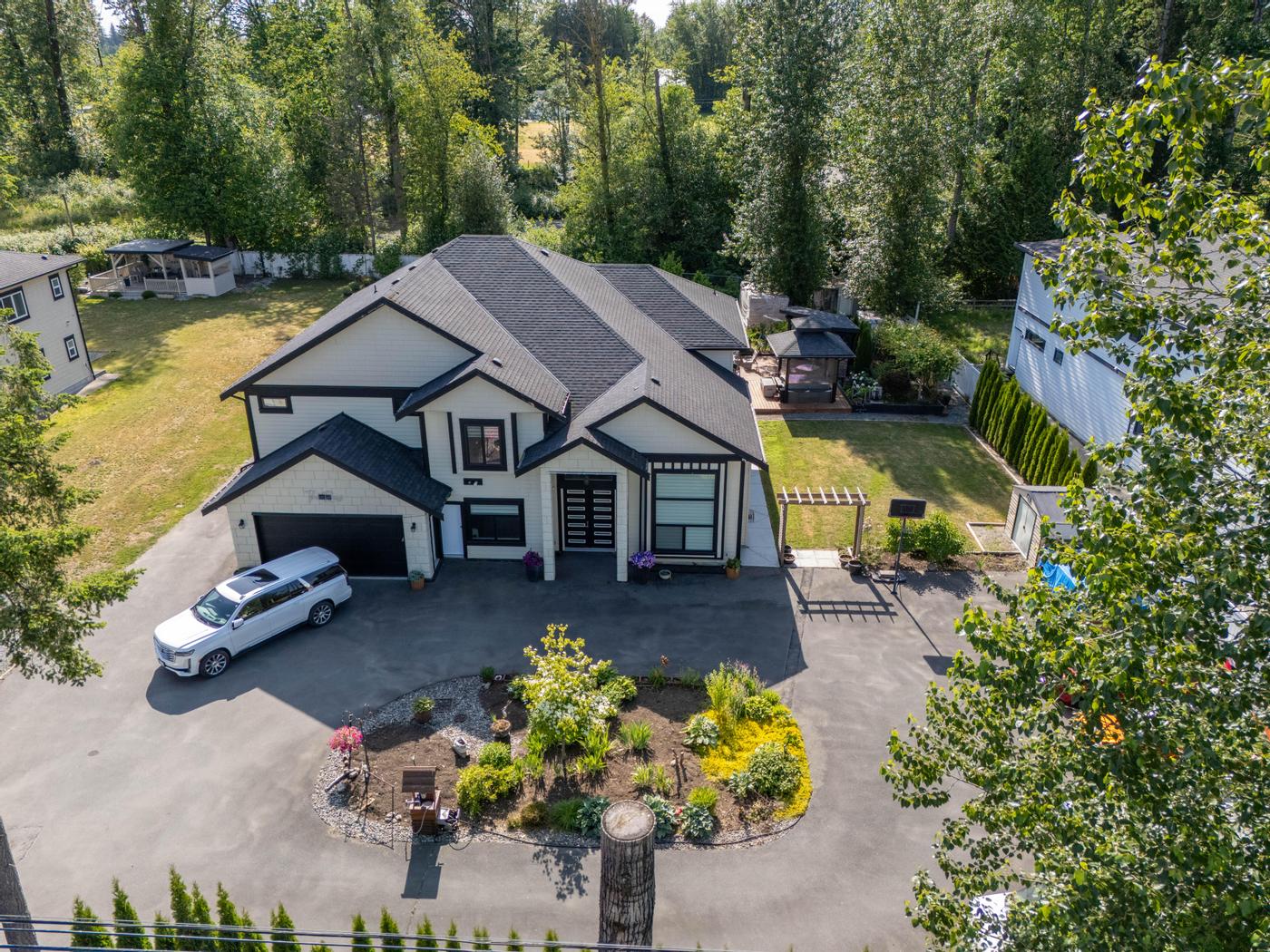
- Lot size and shape, including the back of a deep lot hidden from the street.
- Setting: forest, water, farmland or a view corridor.
- Proximity: the walk to a beach, park, school or SkyTrain station.
- Site layout for acreages, large townhome complexes and properties with outbuildings, a detached garage or a laneway home.
 Our work · Langley
Listings where drone usually pays off
- Acreages and hobby farms in Langley, Maple Ridge or Abbotsford, where the land is a large part of what buyers are paying for
- Waterfront and near-water homes in White Rock, Tsawwassen or Deep Cove
- Large or irregular lots, and homes backing onto parks, ravines or trails
- Corner lots and lots with redevelopment potential, where buyers want to understand the whole site
- Luxury homes where the setting is part of the price
Where it usually doesn't
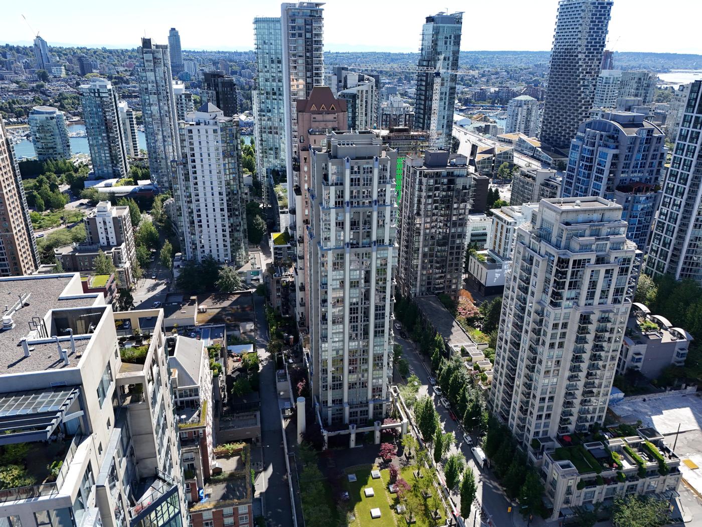
- Mid-floor condo units, where the building aerial says little about the unit
- Tight urban lots with nothing distinctive around them
- Homes where the best selling point is inside, such as a renovated interior
- Properties where the surroundings work against the home, such as a busy arterial road or an industrial neighbour
In those cases the budget does more as twilight photography, a Floor View Tour or better interior coverage. Our guide to choosing listing media walks through those trade-offs.
A quick test before you book
Ask the seller, and yourself, three questions:
- Would a buyer standing on the sidewalk miss something important? A deep yard, a creek at the back of the lot or a park beyond the fence all count.
- Is location a headline in your remarks? If you're writing "steps to the beach" or "backs onto the trail", an aerial can prove it.
- Will you actually use the images? Aerials earn their place when they appear on the property website, in social posts and in print, not just once near the end of the MLS gallery.
Two or three "yes" answers usually mean aerials are worth it. If every answer is "no", spend elsewhere.
Rules, airspace and timing
Every drone flight in Canada must follow Transport Canada's rules. Parts of Metro Vancouver sit in controlled airspace: much of Richmond around YVR, areas near Boundary Bay, Pitt Meadows and Abbotsford airports, and the downtown harbour with its floatplanes and heliport. Flying there requires authorization and appropriate pilot certification, can take extra lead time, and some addresses may not be flyable at all. Rules about flying near people, roads and buildings also shape where a drone can go and which angles are possible. Wind and rain ground drones too, and the wet season can make a clear, calm window hard to find.
For condo and townhome complexes, check with the strata or property manager before the shoot, since common property is involved.
Practical tip: book aerials early, keep a backup date, and have a plan B for the cover image (usually twilight).
Season matters too. Trees and gardens look very different from above in February than in June. A winter aerial can show the shape of a lot more clearly, while a summer canopy may hide the very yard you're trying to show.
Preparing the property for aerials
Aerials show everything the street view hides, including the parts sellers forget about. Before the shoot:
- Clear the yard, deck and side passages; tarps, bins and stacked materials all show from above.
- Move cars off the driveway and, where possible, away from the front of the house.
- Clean the pool or hot tub, and put away hoses, toys and garden tools.
- Let neighbours know if the flight will pass near their homes. A friendly heads-up avoids awkward conversations on the day.
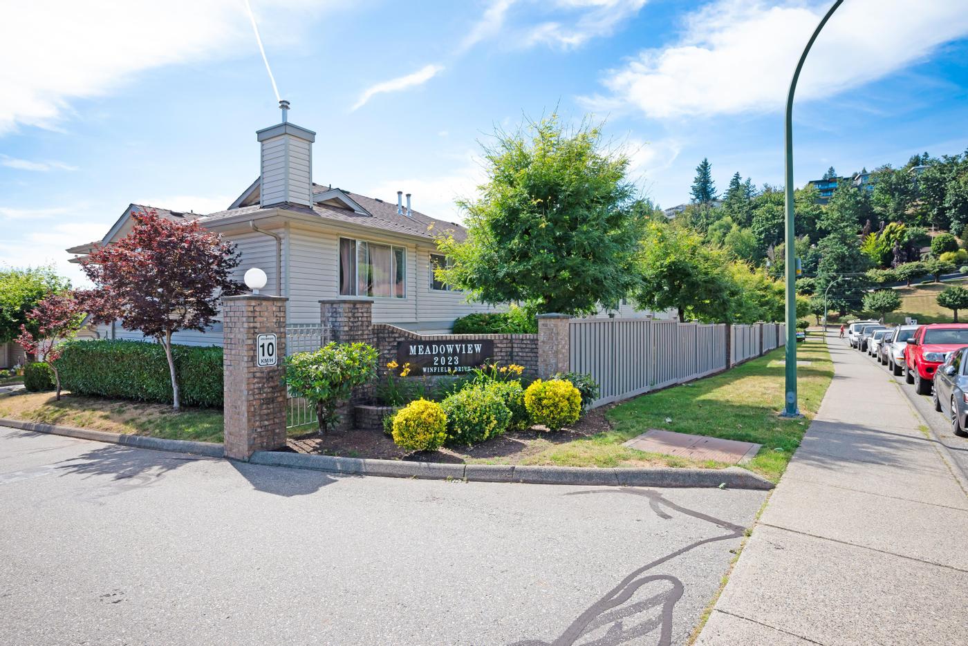 Our work · Abbotsford
How to use aerials well
- Put one aerial near the end of the gallery to show context; lead with the house. The exception is when the setting is the headline, such as a waterfront lot.
- Choose angles that answer a question: where the lot ends, how close the park is, what's behind the fence.
- Use an aerial for neighbourhood posts on social media.
- Include one on the property website and brochure.
- Don't overload the gallery. A few well-chosen aerials say more than a dozen similar ones. For where they belong in the photo order, see our guide to presenting a home online.
Booking drone
Drone Photography can be added to a photography booking or a package. It's currently part of the All-in-One package.
The real question
The question isn't "should every listing have a drone shot?" It's "does the setting sell this home?" If it does, aerials are some of the best-value media you can buy.